20th March 2018
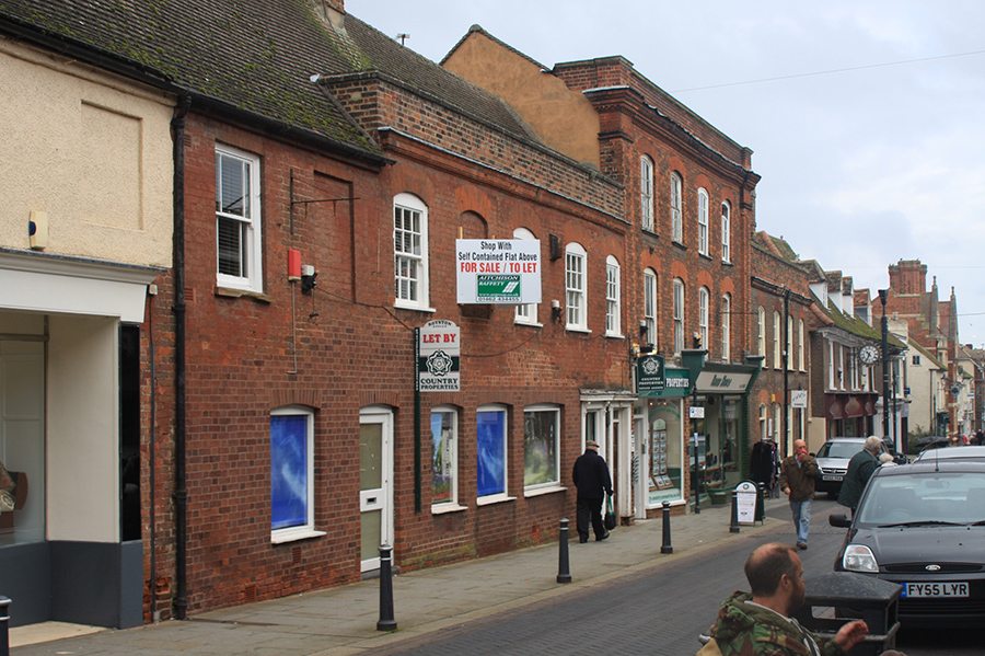
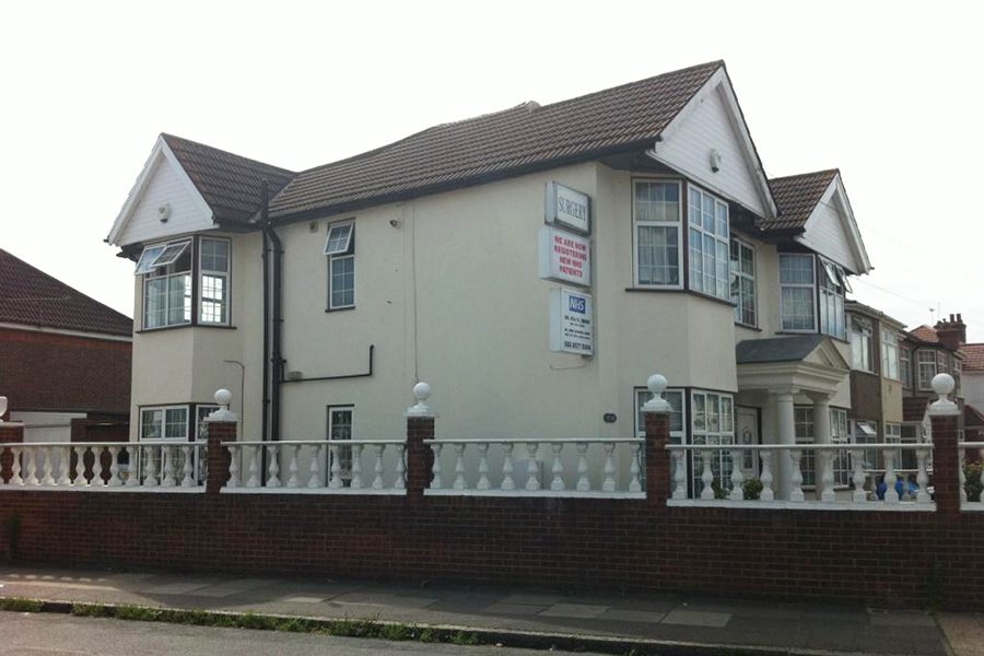
GPA gets planning permission for change of use of basement parking area, erection of...

Postcodes: RH1, RH2
Reigate and Banstead is a local government district with borough status in East Surrey, England. The borough borders the Borough of Crawley to the south, the Borough of Epsom and Ewell and District of Mole Valley to the west, Tandridge District to the east and the London Boroughs of Sutton and Croydon to the north.
The district was formed on 1 April 1974, under the Local Government Act 1972, by a merger of the Municipal Borough of Reigate with Banstead Urban District and part of Dorking and Horley Rural District.
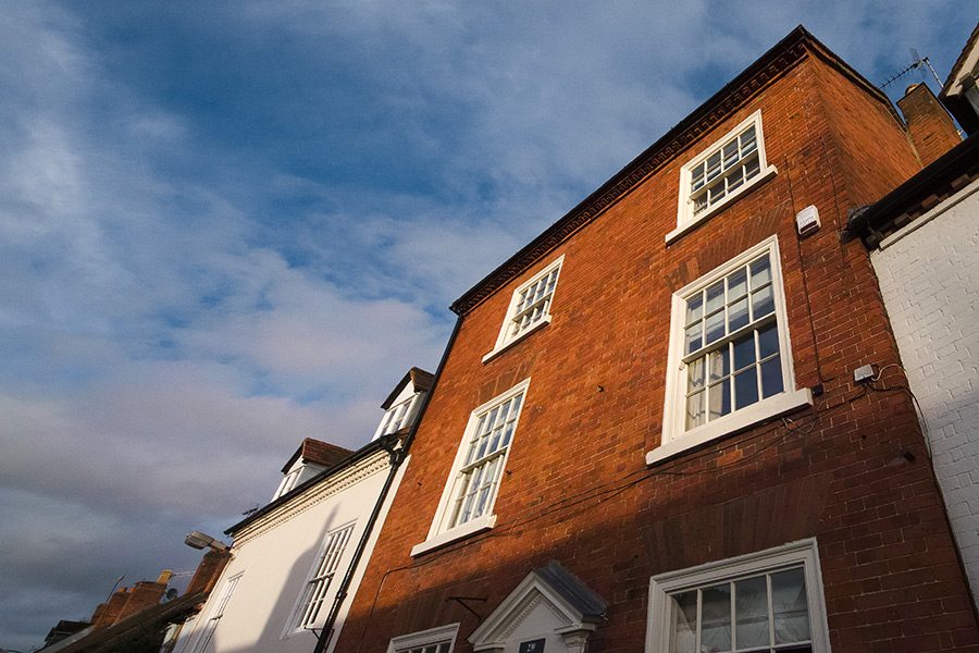
Get Planning and Architecture has overseen a number of successful projects in the borough of Reigate and Banstead. Our team of experts have worked on a wide range of projects here, and are familiar with the Local Planning Authority.
Main areas within Reigate and Banstead include:
Banstead, Burgh Heath and Nork, Kingswood including Lower Kingswood, Chipstead and Woodmansterne Park, Hooley and Netherne-on-the-Hill, Redhill, Earlswood, Meadvale and Merstham, Whitebushes/South Earlswood and Salfords, Horley, Sidlow, Reigate, Gatton, South Park, Flanchford/ Skimmington/ Wonham Mill (hamlets) and Woodhatch, Walton-on-the-Hill and Mogador/Margery (hamlets), Tadworth, The Tattenhams (Tattenham Grove, Heath & Corner), Epsom Downs (part of).
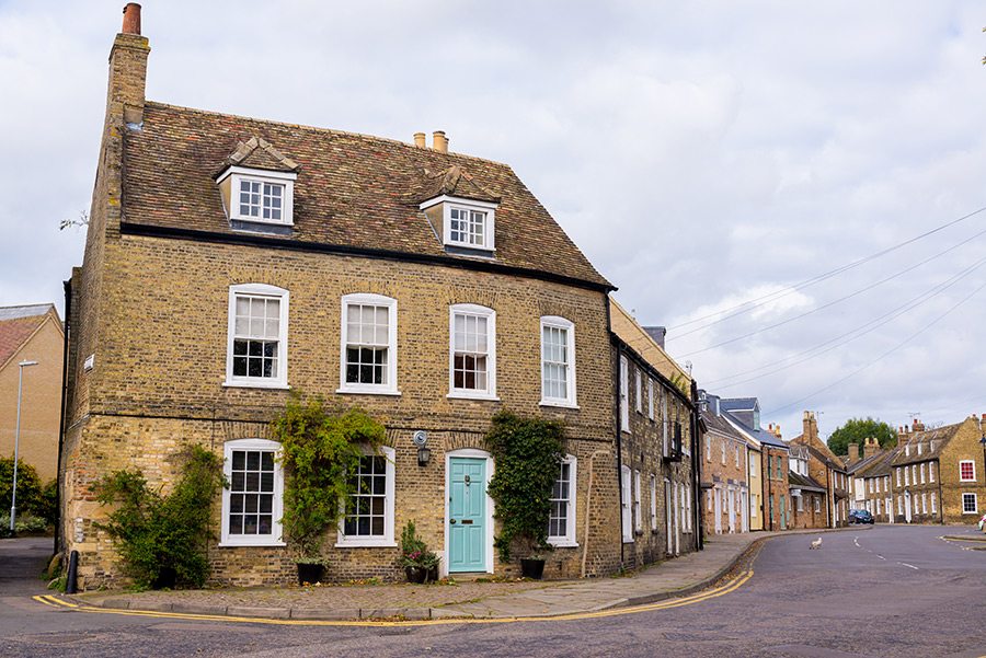
Conservation areas are sites of historical or architectural importance. Building and redevelopment can be a more complex process due to more planning regulations and constraints applying within such areas. However our highly trained staff have the expertise to address more challenging planning and design issues. We achieve the aims of our clients both on an aesthetic and functional level whilst adhering to regulations set out by the local planning authority.
Sutton conservation areas:
Chart Lane (Reigate), Netherne on the Hill, Church Road (Horley), Park Road Mint Road, Cross Oak Lane, Redstone Hill, Elmore Road, Reigate Town Centre, Flanchford Road ColleyLane, Rockshaw Road, High Road Chipstead, Shaws Corner Redhill, Kingswood, Somers Road, Linkfield Street, St Johns Redhill, Massetts Road, Walton on the Hill, Merstham Village, Wray Common
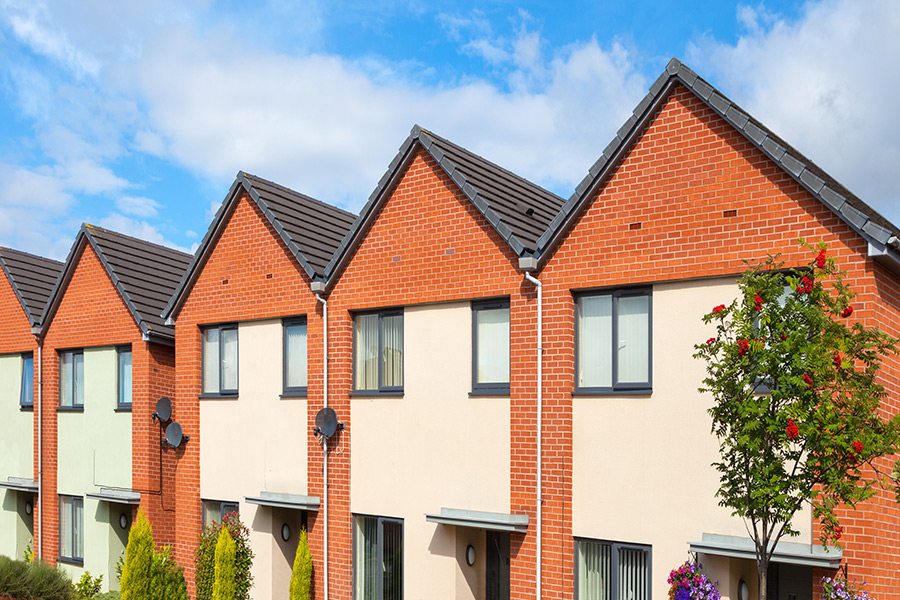
According to the 2011 census, there are currently approximately 137,800 residents in Reigate, an increase of around 11,300 from ten years before. Unsurprisingly, the number of households during that time also increased, by around 3,700. With the current shortage of housing in the South East of England, there is a growing need for both new builds and extensions. The architects and planners at Get Planning and Architecture can provide expert knowledge and skills in assisting with these projects.
There are approximately 50 planning applications submitted weekly to Reigate and Banstead’s Local Planning Authority. Of those, around 5 planning applications are refused each week. However, if a planning application is refused then a planning appeal can be submitted. Get Planningand Architecture has chartered architects and chartered planners who have the expertise to guide you through the planning appeals process. In fact, we have had a high level of success in winning planning appeals.
A study carried out by Savilles, the estate agents, highlighted Reigate and Banstead in Surrey as one of the areas homebuyers who can’t afford central London prices are heading to. The article was published in The Telegraph and looked at housing hotspots in Greater London and the home counties. With central London offering only limited space for buyers’ money, more and more are looking to move further afield.
In Reigate and Banstead house prices have risen an impressive 42 percent between 2005 and 2015 and this is set to jump further. The average 3 bedroom property now costs around £424 914. Whereas a similar property in London would be somewhere in excess of £1 million. If you add into the equation its excellent transport links into London, Reigate and Banstead is a definite must for property investors and developers alike.
A full planning application located at Merland Rise, in the Preston area of the village has been approved by Reigate’s Planning Committee. The new multi-million pound project will include a leisure and community centre, new youth centre and the outline planning application for 130 new homes on the current leisure centre site and on small parts of the recreation ground. Reigate and Banstead Borough Council and Surrey County Council combined forces in order to fund the development.
The approved planning application will include a 25m six-lane swimming pool plus a teaching pool, a gym, dance studios along with a sports hall with four courts plus four five-a-side football pitches, a café and crèche, youth and community activity space, changing rooms and parking.
On the current site of Banstead Leisure Centre, 107 houses and 23 flats will be constructed with 25 per cent of those being affordable housing provision. The scheme will also include open space improvements to Merland Rise Recreation Ground, such as a relocated skate park and playground.
The completed project will provide a boost to the local economy as well as a thriving community area, leisure facilities and much needed housing to the location.
Construction of the £10m leisure centre started in June 2014. The development of the leisure centre is being overseen by Pelikaan construction, and was completed in 2015.
Reigate – Local Planning Authority
Reigate & Banstead Borough Council
Reigate Town Hall, Castlefield Road
Reigate
Surrey RH2 0SH
For more information, visit www.reigate-banstead.gov.uk


|
|
We recognise that no two projects are the same. Our thoughtful, genuinely tailored approach means that we design our service to give each project what it needs to be guided through the planning and architectural process. This gives you the best chance of achieving your design and planning goals in a cost-effective way.